When reviewing directional survey records prior to running tight-tolerance casing strings in complex North Sea wellbores, drilling engineers routinely rely on spreadsheet calculations to evaluate wellbore geometry. Receiving a raw survey listing containing measured depth, inclination, and azimuth data requires immediate, precise calculation of interval dogleg severity. Relying on unverified spreadsheet templates during high-angle directional runs risks underestimating localized wellbore curvature. Undetected doglegs lead directly to operational failures, including stuck pipe, severe casing wear, and compromised completion string runs.
Defining Wellbore Curvature and Survey Input Parameters
According to ISO 15551-1:2015(en), dogleg severity is defined as the total angular change of a wellbore trajectory normalized over a standard reference length, typically 30 metres or 100 feet. The measurement reflects the overall spatial curvature generated by simultaneous changes in inclination and azimuth between two discrete survey stations.
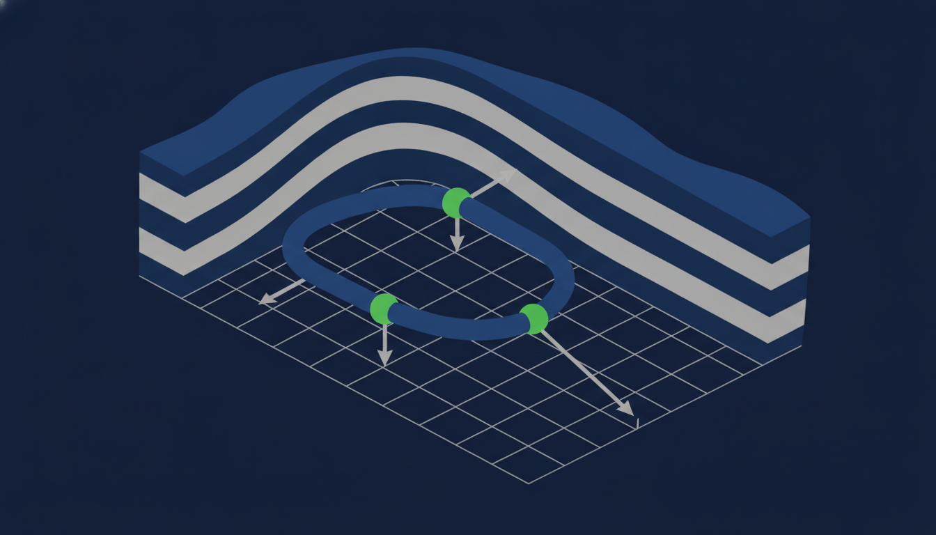
Figure 1. Spatial geometry of two survey stations showing inclination and azimuth vectors used to resolve the total subtended dogleg angle.
To demonstrate the mathematical framework, consider a standard directional survey interval. The upper survey station sits at measured depth , with an inclination and an azimuth . The lower survey station sits at measured depth , with an inclination and an azimuth .
The spatial geometry between two survey stations relies on vector spherical trigonometry. As documented in reference literature such as Dogleg Severity Calculation based on Radius of Curvature and the Dogleg Severity Guide, Calculation & Formula, the total subtended dogleg angle is computed using the spatial vector dot product:
where and represent the inclination angles at the upper and lower survey stations in degrees, and represent the azimuth angles at the upper and lower stations in degrees, and is the total subtended angular change in degrees or radians.
Step-by-Step Implementation of the Radius of Curvature Equation in Excel
Calculating dogleg severity in Microsoft Excel requires converting angular measurements from degrees to radians, evaluating the vector dot product, calculating the arccosine, and scaling the result to the desired reference interval.
Excel trigonometric functions require angle inputs in radians rather than degrees. We convert the survey angles using the factor :
Evaluating the cosine of the total subtended dogleg angle yields:
Taking the arccosine of gives a total subtended angle of , which converts to .
Normalizing this angular change over the course length () produces a calculated dogleg severity:
Assuming , , and are stored in cells A2, B2, and C2, and , , and are stored in cells A3, B3, and C3, the single-cell Excel formula is:
=DEGREES(ACOS(COS(RADIANS(B2))*COS(RADIANS(B3))+SIN(RADIANS(B2))*SIN(RADIANS(B3))*COS(RADIANS(C3-C2))))*(30/(A3-A2))
Automating trajectory evaluation using continuous dogleg severity computation eliminates manual cell referencing errors and updates wellbore curvature values instantaneously with every new survey station.
Common Spreadsheet Formula Pitfalls and Trajectory Errors
Implementing directional calculation formulas in spreadsheets introduces several potential points of failure, ranging from syntax oversights to software precision limits.
Omitting the RADIANS function causes Excel to interpret raw degree inputs directly as radians. If cell inputs of and are passed directly into COS() without conversion, Excel computes , producing corrupt outputs that can exceed on low-angle wells.
Crossing true North () can lead to logical errors when calculating azimuth differences directly. If a well turns from to , a basic arithmetic subtraction () yields instead of the true turn angle. In the radius of curvature formula, because and , the expression naturally handles the crossover. However, custom user-defined logic that attempts to calculate absolute azimuth differences prior to trigonometric operations will generate severe trajectory errors if North crossover conditionals are omitted.
Floating-point rounding errors represent another significant failure mode. Near straight wellbore sections where inclination and azimuth remain essentially constant, the evaluated cosine term can calculate to a value slightly greater than (such as ) due to internal binary representation limits, as noted in computational analysis by John D. Cook. Passing any value strictly greater than into Excel's ACOS function creates a #NUM! domain error that corrupts subsequent summary formulas.
Survey spacing introduces structural calculation risk. As detailed in directional logging analyses published by Coring Magazine, coarse 30 m survey intervals smooth out high-frequency micro-doglegs generated by steerable mud motors. Taking discrete surveys every 30 metres disguises localized, high-rate bends over shorter distances, underestimating the fatigue damage applied to drill pipe and production tubulars.
Sanity Checking Excel Results and Managing Operational Wellbore Risk
Validating spreadsheet calculations against simplified geometric benchmarks prevents formula errors from propagating into field execution.
A pure inclination build from to at a constant azimuth over serves as a reliable benchmark check. Because the azimuth difference is zero, , reducing the spatial formula to . The equation must return exactly DLS. Any deviation indicates a structural formula error in cell referencing or radian conversion.
Understanding how inclination amplifies azimuth sensitivity is essential for evaluating high-angle wellbore risk. At an inclination of , a azimuth turn over generates a dogleg severity of (). At an inclination of , the identical azimuth turn produces a dogleg severity of only (). As inclination increases toward horizontal, the horizontal projection vector expands, meaning azimuth changes traverse a much larger spatial arc.
To guard against floating-point #NUM! errors in long survey listings, spreadsheet calculations should incorporate explicit clamping functions using Excel's MIN and MAX functions:
=DEGREES(ACOS(MIN(1, MAX(-1, COS(RADIANS(B2))*COS(RADIANS(B3))+SIN(RADIANS(B2))*SIN(RADIANS(B3))*COS(RADIANS(C3-C2))))))*(30/(A3-A2))
This protective structure ensures that rounding anomalies near vertical or straight wellbore sections do not disrupt spreadsheet calculations during live operations.
Frequently asked questions
References
- 1.Dogleg Severity Guide, Calculation & Formula — drillingmanual.com
- 2.A technical note on dogleg severity — coringmagazine.com
- 3.ISO 15551-1:2015(en), Petroleum and natural gas industries — iso.org
- 4.Dogleg Severity Calculation based on Radius of Curvature — drillingformulas.com
- 5.Calculating borehole dogleg severity DLS - John D. Cook — johndcook.com