Geosteering Practices in North Sea Technology Innovation
The North Sea has long been a focal point for geological exploration and drilling. As technology advances, geosteering practices evolve to optimize hydrocarbon recovery. This article will delve into the latest innovations in geosteering technology in the North Sea and how these practices are reshaping operations for geosteering engineers and geologists alike.
The Role of Geosteering in Modern Drilling
Geosteering is a technique employed in real-time to guide drill bits through geological formations to maximize resource recovery. This practice is especially important in the North Sea, where complex geological structures can significantly impact drilling outcomes. According to the Society of Petroleum Engineers (SPE), real-time data acquisition and interpretation have become critical in enhancing drilling efficiency and reducing costs (SPE-197655-MS).
One of the key innovations in this domain is the integration of advanced modeling software with real-time data analytics. The use of software like GeoSteering Workspace allows engineers to visualize subsurface data, enabling informed decisions during drilling operations.
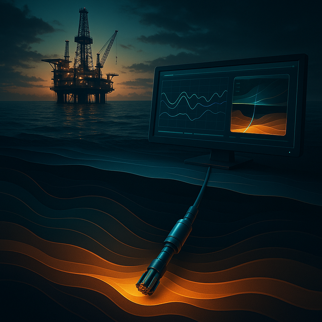
Innovations in Geosteering Technology
1. Real-Time Data Analytics
Real-time data analytics has revolutionized geosteering practices in the North Sea. With the integration of tools such as DrillTracker, geosteering engineers can monitor drilling parameters, formation evaluation, and wellbore positioning in real time. This immediate access to data allows for rapid adjustments, enhancing overall drilling performance.
A study published in the Journal of Petroleum Technology emphasizes the importance of real-time data for improving drilling outcomes, noting that the use of advanced analytics can lead to a reduction in non-productive time (NPT) by up to 30% (SPE-195489-MS).
2. Advanced Look-Ahead Techniques
The implementation of LookAhead technologies enables geosteering engineers to anticipate geological challenges before they occur. By utilizing predictive modeling, engineers can adjust their drilling trajectory to avoid potential hazards, thereby minimizing risks and maximizing resource extraction.
Research has shown that utilizing look-ahead technologies can improve the likelihood of staying within the target formation, translating into increased production rates and lower operational costs (SPE-198600-MS).
3. Integration with AI and Machine Learning
Artificial Intelligence (AI) and machine learning are becoming integral to geosteering practices. Tools like GeoEngine AI harness the power of AI to analyze geological data and recommend optimal drilling paths. This technology can significantly enhance the accuracy of geosteering efforts, enabling engineers to make data-driven decisions quickly.
The SPE has highlighted the transformational potential of AI in drilling operations, stating that machine learning algorithms can identify patterns in drilling data that human analysts might overlook (SPE-201234-MS).
Practical Application of Geosteering Innovations
Consider a recent case in the North Sea where a drilling team faced unexpected geological formations. By using WITSML Integration, they were able to ingest real-time data from multiple sources, including geological, geophysical, and drilling data. This integration allowed the team to adapt their drilling strategy on-the-fly, successfully navigating through the complex geology and achieving their production goals.
The combination of real-time analytics and advanced look-ahead techniques can significantly reduce the time needed to drill wells, ultimately leading to faster project completion and increased profitability.
Summary
The North Sea continues to be at the forefront of geosteering innovation, driven by advancements in real-time data analytics, look-ahead technologies, and AI integration. These innovations empower geosteering engineers and geologists to optimize drilling practices, enhance resource recovery, and reduce operational costs.
As the industry continues to evolve, leveraging tools such as GeoSteering Workspace and DrillTracker will be essential for maintaining a competitive edge in the ever-challenging environment of the North Sea.
GeoMaster handles this natively — Start your free trial.