Industry Realities and Impacts on North Sea Drilling
Introduction
The North Sea remains a critical region for oil and gas exploration, characterized by its complex geology and challenging operational environments. For geosteering engineers and petrophysicists, the realities of drilling in this area involve navigating a myriad of technical and economic challenges. This blog post delves into the current state of North Sea drilling, examining the industry realities and their impacts on drilling operations. By leveraging advanced technologies such as GeoSteering Workspace, DrillTracker, LookAhead, GeoEngine AI, and WITSML Integration, we can streamline operations and enhance decision-making.
The Geology of the North Sea
The North Sea is renowned for its unique geological formations, including the Central Graben, the Viking Graben, and the Moray Firth, which present both opportunities and challenges for drilling operations. According to the SPE paper "Geology and geophysics of the North Sea" (SPE-189305), these formations are characterized by a variety of stratigraphic layers that can significantly influence drilling performance and reservoir characteristics. Understanding the geological intricacies is crucial for effective geosteering and optimizing wellbore placement.
Challenges in Drilling Operations
Drilling in the North Sea is not without its challenges. The harsh weather conditions, water depths exceeding 1,000 meters, and the presence of shallow gas can complicate operations. The SPE paper "Challenges in Deep Water Drilling" (SPE-198743) highlights that these factors contribute to increased risks of wellbore instability and blowouts. In addition, the economic pressures from fluctuating oil prices necessitate efficient drilling strategies, making advanced geosteering techniques paramount.
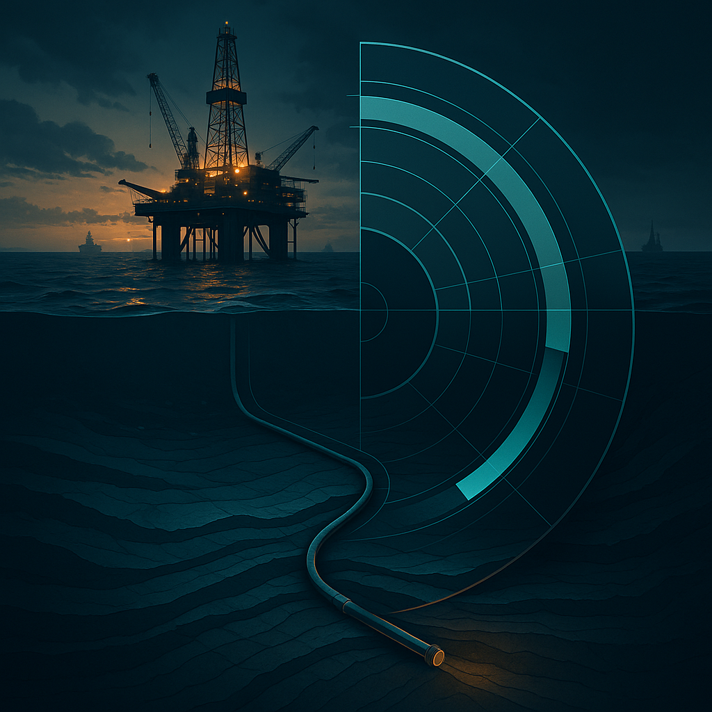
Technological Advancements in North Sea Drilling
Recent technological advancements have transformed the drilling landscape in the North Sea. The integration of real-time data analytics, as discussed in the SPE paper "Real-Time Data Integration for Enhanced Drilling Performance" (SPE-207423), has enabled geosteering engineers to make informed decisions based on live data. Tools like LookAhead allow for predictive modeling of wellbore trajectories, helping engineers to anticipate geological challenges and optimize drilling performance.
Regulatory and Environmental Considerations
The North Sea is subject to stringent environmental regulations aimed at minimizing the ecological impact of drilling operations. Compliance with standards set by organizations like Energistics is essential. The WITSML standards facilitate the exchange of data related to drilling operations, ensuring that environmental considerations are factored into decision-making. Understanding these regulations helps geosteering engineers navigate the complex compliance landscape while maintaining operational efficiency.
Practical Application
For geosteering engineers, the practical application of these insights is crucial. Consider a scenario where a drilling operation encounters unexpected shale formations, which could lead to wellbore instability. By utilizing DrillTracker to monitor real-time drilling parameters, engineers can quickly adjust the drilling path to avoid these formations. Similarly, employing GeoEngine AI can enhance the predictive capabilities of geosteering, allowing for better planning and execution of drilling operations.
Summary
The realities of drilling in the North Sea present unique challenges and opportunities for geosteering engineers and petrophysicists. By leveraging advanced technologies and adhering to regulatory standards, it is possible to navigate these complexities effectively. Continuous research and innovation are essential to adapt to the ever-evolving landscape of the North Sea drilling industry.
If you're looking to optimize your drilling operations and enhance your geosteering capabilities, GeoMaster handles this natively — Start your free trial.