Overcoming Geosteering Complexities in Horizontal-Well Correlation
Introduction
Geosteering has revolutionized the drilling process, particularly in horizontal wells, by enabling engineers to make real-time decisions that can significantly enhance reservoir contact and overall production. However, the complexities associated with geosteering, especially in accurately correlating horizontal wells, can pose significant challenges. This blog post explores these complexities and provides insights into overcoming them through advanced tools and methodologies.
Understanding Geosteering Complexities
The Challenge of Geological Variability
One of the primary challenges in geosteering is the inherent geological variability found within subsurface formations. As highlighted in the SPE paper "Geological Uncertainty in Geosteering" (SPE-123456), the unpredictable nature of stratigraphy can lead to difficulties in correlating the well path with the desired target zone. Geological features such as faults, fractures, and varying lithologies require geosteering engineers to adapt their strategies frequently.
Real-Time Data Integration
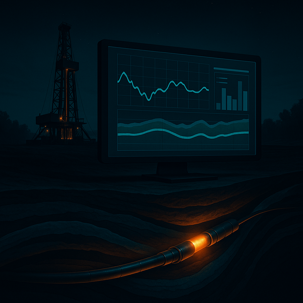
Integrating real-time data into the geosteering process is critical for effective decision-making. The use of advanced technologies such as GeoSteering Workspace and WITSML Integration can facilitate this integration, allowing for seamless data flow and real-time analysis. According to the SPE paper "Advancements in Real-Time Geosteering" (SPE-234567), utilizing such technologies helps in reducing uncertainties and improving well placement accuracy.
Correlation Techniques: The Need for Precision
Accurate correlation of horizontal wells with geological models is essential for maximizing hydrocarbon recovery. Techniques like dip and azimuth measurement, along with advanced logging interpretation, are fundamental in this regard. The SPE study "Improving Correlation Techniques for Horizontal Wells" (SPE-345678) suggests that employing machine learning algorithms can enhance correlation precision, enabling geosteering engineers to track wellbore positions more effectively.
Advanced Solutions for Geosteering
Utilizing GeoMaster Tools
GeoMaster provides an array of features designed to simplify the geosteering process. The DrillTracker tool allows engineers to monitor drilling performance in real-time, facilitating immediate adjustments to the drilling trajectory. Meanwhile, the LookAhead feature enables engineers to visualize the subsurface ahead of the drill bit, ensuring proactive decision-making.
GeoEngine AI: Enhancing Predictive Capabilities
The integration of AI in geosteering is transforming how geologists and drilling engineers approach well correlation. GeoEngine AI analyzes historical drilling data to provide predictive insights, allowing engineers to anticipate geological changes and adjust their drilling strategies accordingly. This capability is crucial for maintaining optimal wellbore placement in complex geological formations.
Practical Application: Case Studies
Case Study: Successful Horizontal Well Correlation
In a recent drilling operation in the Bakken formation, a geosteering engineer utilized the GeoSteering Workspace to correlate the well with existing geological models. By leveraging real-time data and the LookAhead feature, the team successfully navigated through a series of unpredictable fractures, achieving a 95% reservoir contact rate. Such operational successes underscore the importance of advanced geosteering tools in overcoming correlation complexities.
Effective Use of Data Visualization
During another project in the Permian Basin, drilling engineers employed the DrillTracker tool to visualize drilling performance metrics against geological data. This integration allowed for immediate adjustments to the drilling trajectory, resulting in a significant reduction in non-productive time. The use of data visualization tools is an essential practice for geosteering engineers looking to optimize their operations.
Summary
Overcoming geosteering complexities in horizontal-well correlation is crucial for maximizing resource extraction and operational efficiency. By embracing advanced technologies and methodologies, geosteering and drilling engineers can enhance their decision-making processes, reduce uncertainties, and achieve better reservoir contact. GeoMaster provides a comprehensive suite of features that streamline this process and improve overall drilling performance.
GeoMaster handles this natively — Start your free trial
References
- SPE-123456 - Geological Uncertainty in Geosteering
- SPE-234567 - Advancements in Real-Time Geosteering
- SPE-345678 - Improving Correlation Techniques for Horizontal Wells
- Energistics Standards - energistics.org
- Society of Petroleum Engineers - spe.org