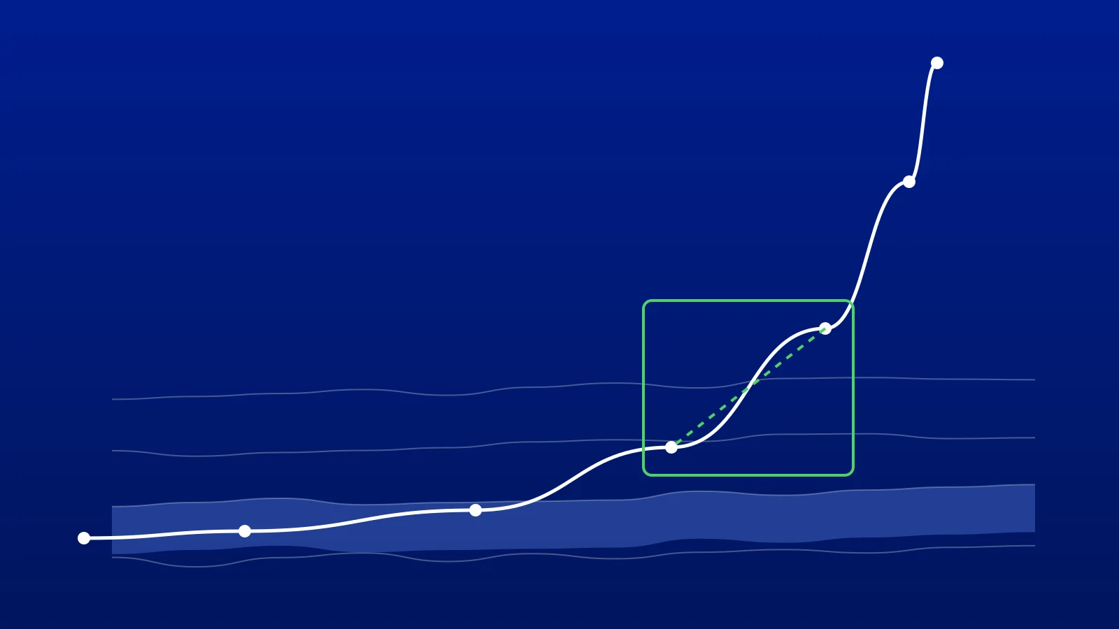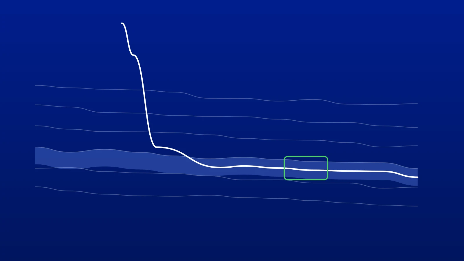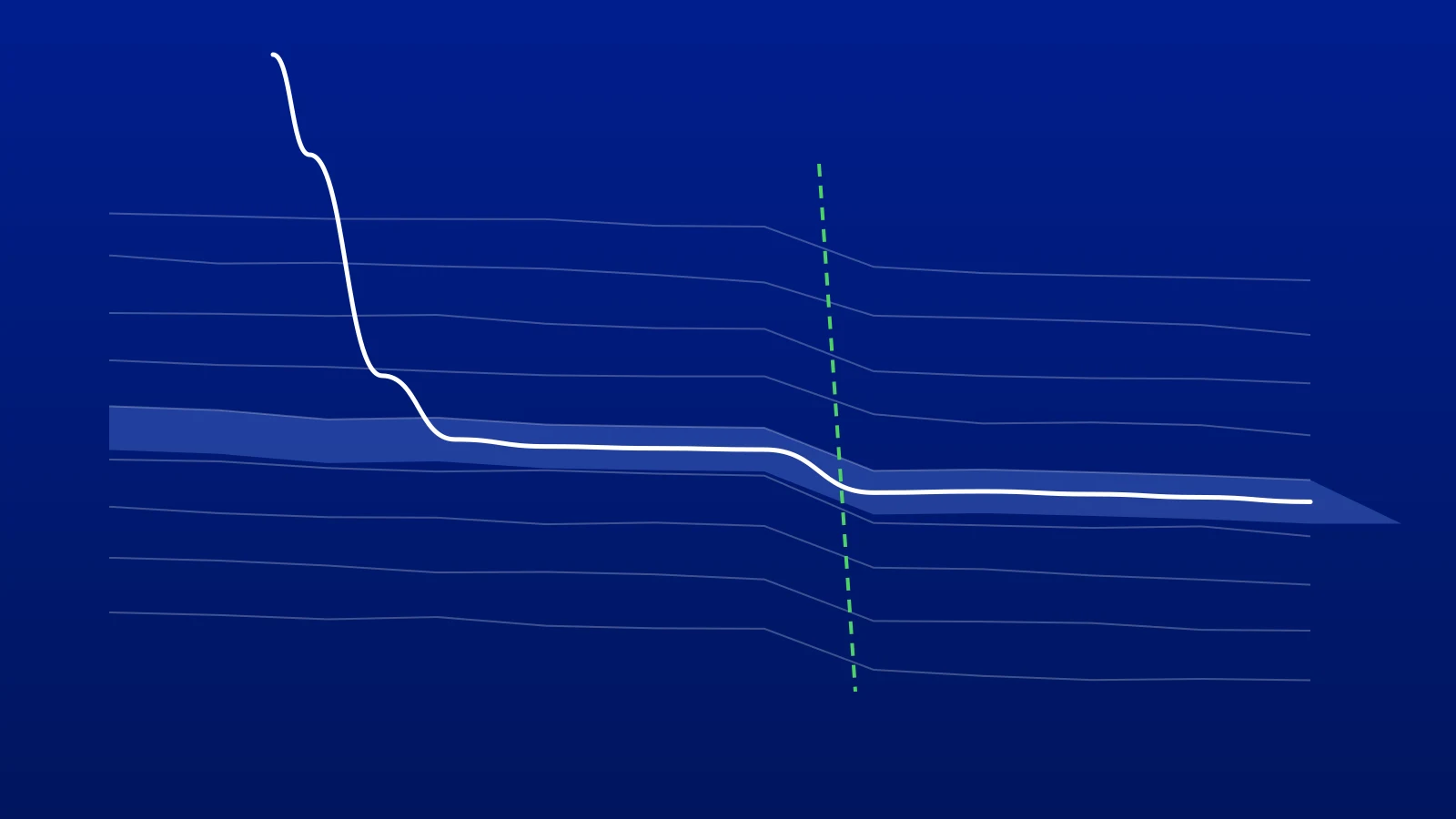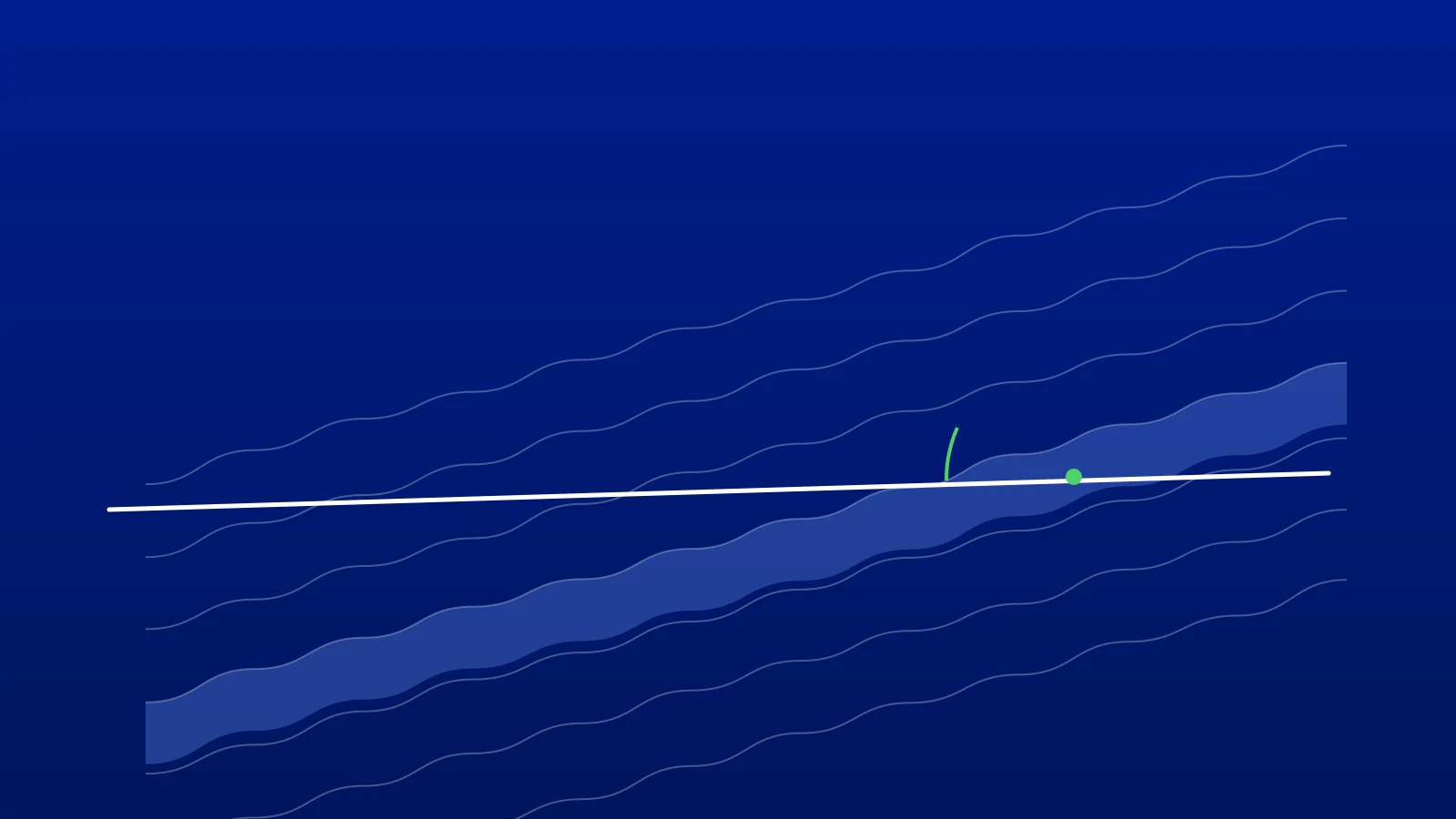
The question everyone on a horizontal well asks is simple: are we in zone? The answer is not the true vertical depth (TVD). TVD tells you how deep the wellbore is. Stratigraphic position tells you where it is in the rock: which layers it sits between, how far it is from the top and the base of the target, and which way it is moving.
The two differ because layers are rarely flat. A target that sits at 2,800 m TVD at the pilot hole can be 2 m deeper a kilometre along the lateral. A well that holds a perfect TVD can still drift out of a 5 m sweet spot. This article sets out a method that works with the data every horizontal well already has: surveys, a gamma ray log and a type well.
What You Need
- Survey stations: measured depth (MD), inclination and azimuth at each station.
- A log along the lateral: usually logging-while-drilling (LWD) gamma ray; resistivity helps where gamma is flat.
- A type well: a vertical or pilot well near the lateral, with the same log and the formation tops picked.
- The target: the top and the base of the zone you want to stay in, named on the type well.
Step 1: Turn the Surveys Into a Trajectory
Calculate TVD and vertical section (VS) at every station with the minimum curvature method. VS is measured along a chosen azimuth, normally the azimuth of the planned lateral, so the well and the geology can be drawn on one section.
Two checks save hours later. First, use the same VS azimuth for the trajectory and the cross-section; a mismatch of a few degrees bends the picture. Second, make sure the log depths and the survey depths share the same reference. You can check the arithmetic with our free survey calculator and MD to TVD converter.
Step 2: Prepare the Type Well
Pick the tops on the type well and mark the target zone. Name each top once and keep the names consistent: "Sweet Spot" and "SweetSpot" on two wells are two different tops to any software, and to most people reading a report later.
Note any difference between the type well's gamma tool and the lateral's. A constant offset between two tools is common and is not geology.
Step 3: Correlate the Lateral Against the Type Well
This is the core of the method. As a horizontal well drills along a layer, its gamma ray reads the same few metres of rock again and again. When the well moves up or down through the stratigraphy, the gamma changes, and the pattern it draws matches part of the type well's log.
Work along the lateral in intervals. For each interval, find the vertical shift that lines up the lateral's gamma with the type well's gamma. That shift tells you how much deeper or shallower the layers sit at that point than they do at the type well. A shift that changes steadily along the lateral is dip; a sudden jump between two intervals can be a fault.
The result is the lateral's position in type-well terms, often called true vertical thickness (TVT) or stratigraphic depth: the depth the same point would have in the type well.
TVT = TVD at the station − vertical shift of the layers at that point
Once you have TVT, the target's top and base from the type well apply directly.
Step 4: State the Position in Words the Rig Can Use
A position is useful when it answers three questions:
- Inside or outside? Is the station between the top and the base of the target?
- How far from each boundary? Distance below the top and above the base, in metres.
- Which way is it moving? Compare with the previous station: is the well drifting towards the top or the base?
"1.8 m below the top, 3.4 m above the base, moving down 0.2 m since the last station" is a position a directional driller can act on. "We are at 2,803.8 m TVD" is not.
A Worked Example
The numbers below are made up to show the method; they are not from a real well.
- On the type well, the Sweet Spot top is at 2,800.0 m TVD and its base at 2,805.2 m, so the zone is 5.2 m thick.
- The last survey station on the lateral is at MD 4,886 m and TVD 2,803.8 m.
- Correlating the gamma for the interval around that station shows the layers sit 2.0 m deeper here than at the type well.
At this point along the lateral, the Sweet Spot runs from 2,802.0 m to 2,807.2 m TVD. The station's TVT is 2,803.8 − 2.0 = 2,801.8 m, which falls between the type well's top (2,800.0 m) and base (2,805.2 m).
So the well is inside the Sweet Spot: 1.8 m below its top and 3.4 m above its base. At the previous station it was 1.6 m below the top, so it has moved 0.2 m down since then, towards the base.
Mistakes That Put Wells Out of Zone
- Steering on TVD. Holding a planned TVD only works if the layers are flat. Most are not.
- Reading a mirrored pattern the wrong way. When the well crosses a layer, the gamma pattern is the same whether it is drilling up or down through it. Check the direction against the inclination and the dip: with flat layers, an inclination above 90° means the well is climbing through the section.
- Calling every jump a fault. A sudden shift can also be a thickness change or a poor match in a flat-gamma interval. Look for supporting evidence before adding a fault to the interpretation.
- Forgetting the tool offset. A constant difference between the two gamma tools shifts every match. Correct it once at the start.
- Treating the last survey as the bit. The survey sensor sits some distance behind the bit, often 10 to 20 m. The position you calculate is the position at the last survey station. Anything beyond it is a projection.
- Not keeping versions. Interpretations change as the well is drilled. Save a version with a note when you change your mind about a fault or a layer pick, so you can explain later why the well was steered as it was.
How GeoMaster Does It
In GeoMaster®, registered in the United Kingdom (UK00004424070), this method is the GeoMatch workflow: the lateral is matched to the type well interval by interval, with layer lines you can move, faults where you need them, and every change saved as a version. The positions are calculated by the same geosteering engine that draws the cross-section on screen.
To get the position without doing the arithmetic, tick the Sweet Spot top on the type well and ask GeoEngine, the AI assistant inside each project, or type /position. It reports where the last survey point sits, whether it is inside the Sweet Spot, the distance to its top and base, and the trend since the previous station. The /position command is free and does not count against your query allowance. See how GeoEngine works.
You can try it on your own well on the free plan. Start free, or request a 14-day Pro trial; we approve requests within 1 working day.
Frequently asked questions

Written by the GeoMaster team at Greenstone Energy Ltd
Geosteerers and drilling engineers building geosteering software in the browser. Meet the founders →
Work With Us
Run your next well in GeoMaster. Start on the free plan, or request a 14-day Pro trial: we approve requests within 1 working day and you won't need a card.