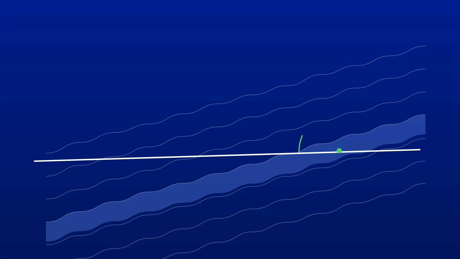
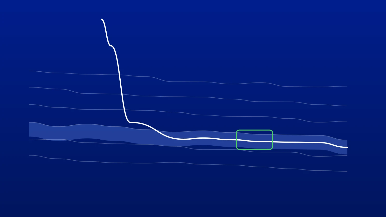
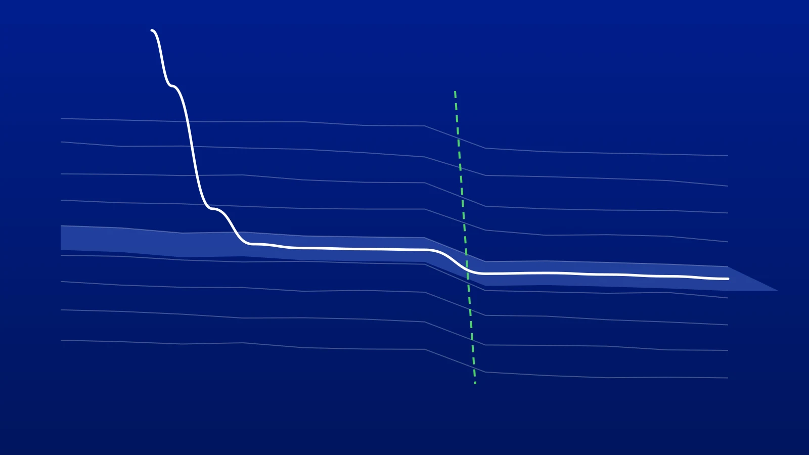
Every geosteerer knows the moment. The gamma ray turns, the well is about to leave the sweet spot, and you tell the rig: “You’ll exit in 100 m.” That is a warning, not a plan. Before anyone can act on it, the directional driller needs a target with a measured depth, a true vertical depth, an inclination and an azimuth, and needs to know whether the assembly can get there at all.
So the emails start. “Re: new target?” “Re: what TVD?” “Re: Re: arrive INC?” While they go back and forth, the bit keeps drilling. LookAhead is how we want GeoMaster® to close that gap. It is in development, and this article explains how it will work.
What LookAhead does
DrillTracker already shows what has happened: the well measured from its surveys, behind the bit. LookAhead shows what has to happen next, ahead of it.
You set the maximum dogleg severity (DLS) you will allow. LookAhead lights up every point the bit can still reach under that limit, on the same section view you steer in, across your layers. Lit means reachable. Dark means it is not. You click the target inside the light, and LookAhead returns a stepped plan, tied in at the bit, with everything the driller asks for.
LookAhead does not predict the geology. Where the well should go is the geologist’s decision, made from the interpretation. LookAhead answers the question that follows: can the bit get there, and exactly how.
Why the cone does not start at the bit
A drawing tool would draw the reachable area from the bit, as if the assembly could turn the instant you decide to. It cannot. The bottom hole assembly has its own tendency, and it keeps doing what it is doing until the steering takes hold. A plan that ignores this looks fine on screen and fails on the rig.
LookAhead builds the plan in the order the well will actually drill it:
- Bit projection. It starts from the projected bit position, beyond the last survey.
- Tendency. The assembly carries on at its current build and turn rates through a reaction window, 30 m by default.
- Steering start point. Steering begins here, and this is where the cone is drawn from.
- Ramp. The first interval runs at reduced efficiency, 70% by default, while the steering takes hold.
- Curve and hold. A curve at the design DLS, then a hold to the target.
The tendency is fitted from the last five surveys by default. You can enter the build and turn rates yourself, or set the tendency to zero for a rotary steerable system that holds neutral. The plan is designed slightly under your maximum DLS, at 90% of it by default, so there is room to spare when the yield is lower than expected.
A worked example
Here is the sample well from the film above. The numbers come from our test case; they are not from a real well.
- The projected bit is at MD 4,916.5 m. The maximum DLS is 3.0°/30 m, and the plan is designed at 2.8°/30 m.
- After the 30 m reaction window, steering starts at MD 4,946.5 m, with the inclination at 90.97°.
- The geologist clicks a target at TVD 2,812.0 m and a vertical section of 1,400 m, inside the cone.
LookAhead returns the plan in four segments:
| Segment | Meaning | Length |
|---|---|---|
| TND | Tendency: the reaction window | 30.00 m |
| RMP | Ramp: steering taking hold | 7.77 m |
| CRV | Curve at 2.8°/30 m | 19.39 m |
| HLD | Hold to the target | 326.44 m |
The target is reached at MD 5,300.10 m, arriving at an inclination of 88.65°. When the plan is integrated station by station, it closes on the target with no error in TVD or vertical section. That is the check that matters: the plan the driller receives lands exactly where the geologist clicked.
If the geologist clicks outside the light, LookAhead says the target cannot be reached under the current limit and saves nothing. The answer is then to aim closer, or to raise the maximum DLS if the well can take it.
From proposal to active plan
Each solve is saved as a numbered proposal: LA-1, then LA-2 for the next target, and so on. You can try several targets and compare them, and the well’s plan does not change while you do.
When the team agrees, someone activates one proposal. In a single step, the previous active plan is switched off, the new one is tied in exactly at the bit, and the other proposals are marked superseded. DrillTracker then measures the well against the new plan, survey by survey.
A proposal is made from the bit position at that moment, so it ages as the well is drilled. Once the bit is more than 15 m past where a proposal started, it can no longer be activated; you make a fresh one from the current bit. That rule exists so nobody hands the rig a plan that starts behind the bit.
No black box
LookAhead is geometry. The cone, the tendency, the ramp and the curve and hold are calculated in DataEngine, the same engine that runs DrillTracker, and they are checked against a fixed reference case on every release, including the numbers in the example above. There is no machine learning in the solve. Every number on the screen can be traced to the surveys and the settings you chose.
That matters for the same reason we gave at the LPS New Technology Seminar this week: interpreters do not trust results they cannot check. LookAhead does not decide where the well goes. It makes the geologist’s decision drillable, in seconds instead of an email chain.
When it ships
LookAhead is coming to the Pro and Enterprise plans. You can join the LookAhead waitlist for early access on your first well, or book a demo to see where it stands.
In the meantime, GeoMaster’s DrillTracker, version history and geosteering workspace are available today. Start free, or request a 14-day Pro trial; we approve requests within 1 working day.
Frequently asked questions

Written by Mohamadmehdy Ahi, Co-founder and CEO, Greenstone Energy Ltd
Geosteerers and drilling engineers building geosteering software in the browser. Meet the founders →
Work With Us
Run your next well in GeoMaster. Start on the free plan, or request a 14-day Pro trial: we approve requests within 1 working day and you won't need a card.