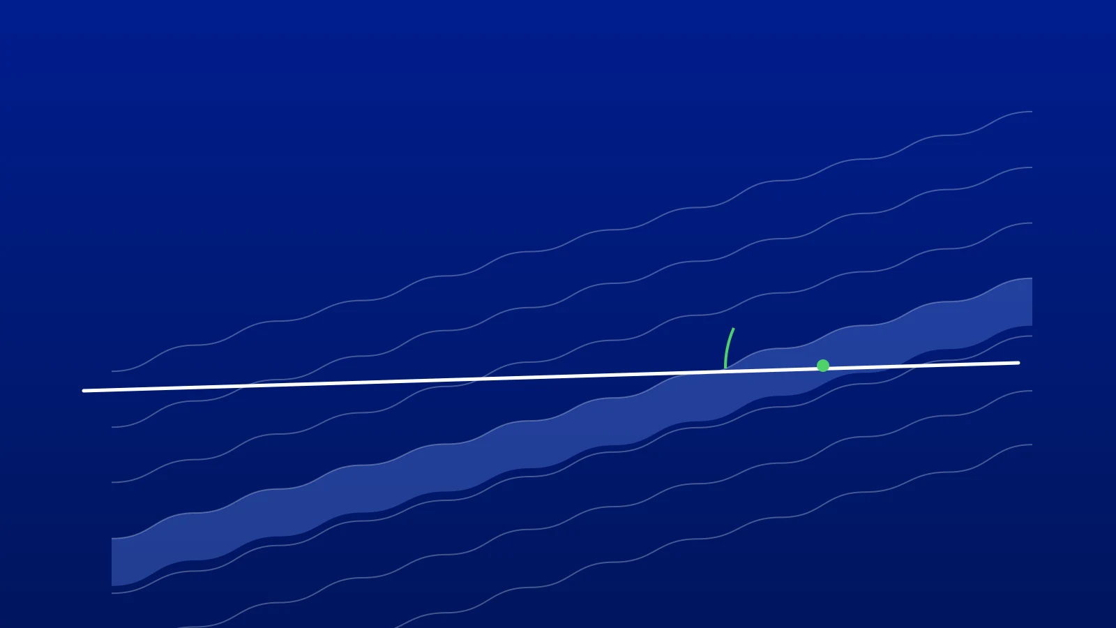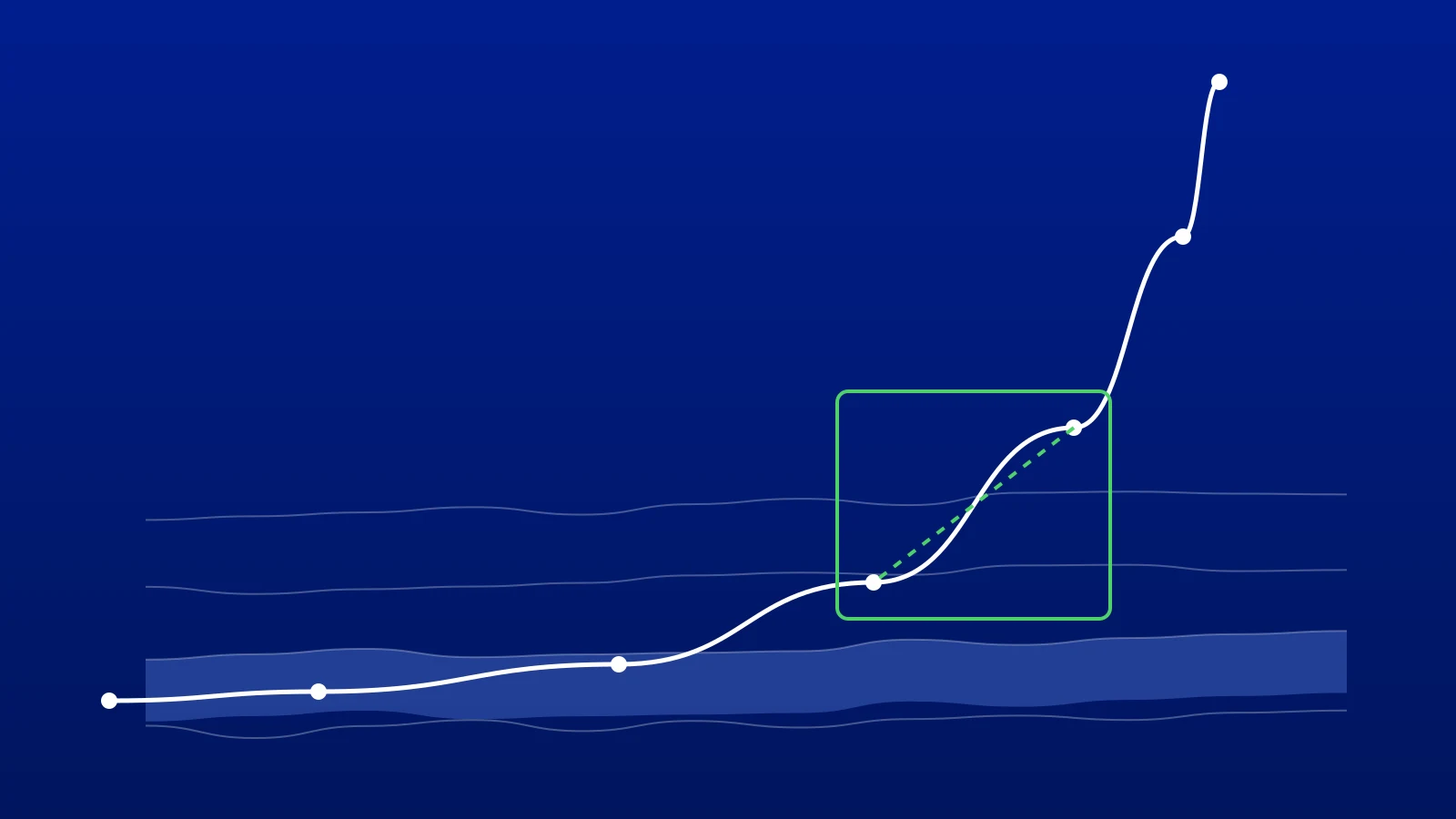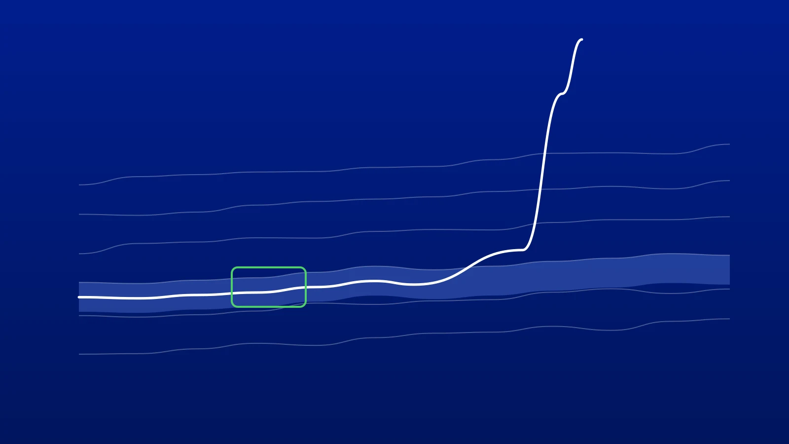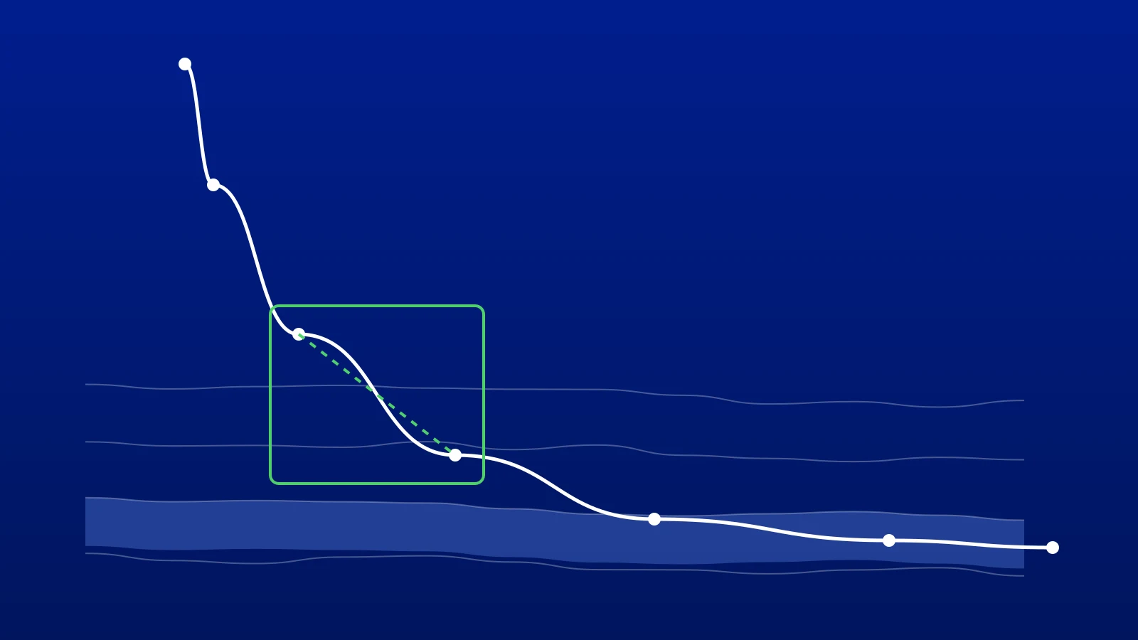
The two terms are often used as if they meant the same thing. They do not. Directional drilling is about making the well go where you want it to go. Geosteering is about deciding where it should go, based on the rock it is finding. On a horizontal well you need both, and most of the problems happen in the gap between them.
Directional Drilling: Making the Well Follow a Path
Directional drilling is the engineering discipline of controlling a wellbore's inclination and azimuth so that it follows a planned trajectory. The directional driller works from the well plan: a path, in measured depth, inclination and azimuth, that takes the well from the surface location to the target.
To follow it, the directional driller uses:
- Measurement while drilling (MWD) surveys: inclination and azimuth at each survey station, from which the trajectory is calculated.
- Steering tools: a mud motor with a bent housing, where the driller alternates sliding and rotating, or a rotary steerable system that steers while rotating.
- Toolface: the direction the bend or the steering force points, which sets whether the well builds, drops or turns.
The questions a directional driller answers are geometric: how far are we from the plan, what dogleg will it take to get back, and can the bottom hole assembly deliver it?
Geosteering: Deciding What the Path Should Be
Geosteering is the geological discipline of keeping the well in the best rock. Before the well is drilled, the target is a prediction from seismic and offset wells. Once the bit is in the reservoir, the rock itself tells you where the target really is, and it is rarely exactly where the plan put it.
The geosteerer uses:
- Logging while drilling (LWD) data: usually gamma ray, often resistivity, sometimes azimuthal or image logs.
- A type well: a nearby well with the formation tops picked, to correlate the lateral against.
- The trajectory: the same surveys the directional driller uses, to place the logs in true vertical depth.
The questions a geosteerer answers are geological: where is the well in the stratigraphy, which way are the layers dipping, and where should the well go next to stay in the target? Our guide to type well correlation covers how that position is worked out.
Side by Side
| Directional drilling | Geosteering | |
|---|---|---|
| Goal | Follow the planned path | Keep the well in the best rock |
| Main data | MWD surveys | LWD logs, type well, surveys |
| Main question | How far are we from the plan? | Where are we in the rock? |
| Output | Steering: toolface, slide or rotate | A target: change in TVD or inclination |
| Who | Directional driller | Geosteerer or wellsite geologist |
| Where | Usually at the rig | Often remote, at the office |
How the Two Work Together
On a horizontal well the loop runs like this:
- A new survey and new log data arrive.
- The geosteerer updates the correlation and the position in the target, and decides whether the plan still makes sense. If the layers are dipping more steeply than predicted, the target needs to move.
- The geosteerer makes a call: for example, drop 2 m in TVD over the next 100 m, or hold 90.5° inclination.
- The directional driller turns that call into steering: what dogleg it needs, whether the assembly can deliver it, and when to slide.
- The well is drilled ahead, and the next survey shows whether it worked.
The weak point is step 4. A geologist's call is in geological terms; the driller needs it in drilling terms. If the call needs a dogleg the assembly cannot build, or arrives after the well has already drifted, the well leaves the zone even though both people did their job.
Where It Goes Wrong
- Steering on the plan, not the rock. The directional driller keeps the well on a plan that the geology has already made obsolete. Updating the plan must be part of the loop.
- Calls the driller cannot drill. "Get back into the zone in 50 m" may need a dogleg the motor cannot achieve. The call should come with the geometry behind it.
- Two pictures of the well. The geologist sees the cross-section, the driller sees the plan. When they disagree on where the well is, minutes are lost on the phone. A shared view of the well against its plan avoids it.
- Forgetting the sensor offset. Surveys and logs are measured behind the bit, often 10 to 20 m back. Both disciplines need to work from the same projection to the bit.
Do You Need Both?
On a vertical well, no geosteering is needed; the target is reached by depth. On a deviated well into a thick reservoir, directional drilling alone is often enough. On a horizontal well in a thin or faulted target, you need both: directional drilling to put the well where you ask, and geosteering to know where to ask.
The value of geosteering is measured in reservoir contact: the proportion of the lateral inside the target. Our article on what geosteering is and why it pays goes into the economics.
How GeoMaster Connects the Two
GeoMaster®, registered in the United Kingdom (UK00004424070), puts the geosteerer and the directional driller in the same project, in a web browser. The geosteerer correlates the lateral against the type well in GeoMatch. DrillTracker shows both of them the well against its plan: the projection to the bit by trend or hold, the bit-to-sensor offset, and the steering needed to get back on plan. GeoEngine, the AI assistant in each project, answers where the last survey point sits in the target and explains DrillTracker's numbers on request.
Start free, or request a 14-day Pro trial; we approve requests within 1 working day.
Frequently asked questions

Written by the GeoMaster team at Greenstone Energy Ltd
Geosteerers and drilling engineers building geosteering software in the browser. Meet the founders →
Work With Us
Run your next well in GeoMaster. Start on the free plan, or request a 14-day Pro trial: we approve requests within 1 working day and you won't need a card.