On a horizontal well, the type well is the reference for everything. Every statement about where the lateral sits, inside the target, 2 m below the top, drifting towards the base, is a statement about how the lateral lines up with the type well. If the type well is wrong, or the correlation against it is loose, every position after it is wrong too, however careful the arithmetic.
This guide covers the three parts of type well correlation: choosing the type well, preparing it, and correlating the lateral against it.
What a Type Well Is
A type well, or type log, is a well near the lateral that shows the stratigraphy as it should look: the formation tops picked, the target zone marked, and a log response, usually gamma ray, that you expect the lateral to see again as it moves up and down through the layers.
It is usually a vertical or pilot well, or the vertical section of an earlier well on the same pad. It can also be a composite built from several offsets. What matters is that it describes the same rock the lateral will drill, at a resolution fine enough to recognise the layers inside the target.
Step 1: Choose the Right Type Well
The nearest well is not always the best one. Check four things.
- Distance and direction. Closer is better, but a well along the lateral's direction usually beats a nearer one off to the side, because the layers change along the path you will drill.
- The same log, with a usable response. The type well needs the log the lateral will run, normally gamma ray, across the target and some metres above and below it. A gap in the log across the target makes the well useless as a reference.
- Thickness and character. Compare the target thickness with what the seismic or the regional maps predict at the lateral. If the type well is 30% thicker or thinner than expected, positions inside the zone will be off by that much.
- Data quality. Washouts, a different tool or a heavy mud weight can change the log. Look at the caliper and the mud report before trusting a shape.
If no single well passes, build a composite: take the cleanest interval from each offset and scale it to the thickness you expect at the lateral. Record where each part came from.
Step 2: Prepare the Type Well
Preparation is quick, and skipping it causes most of the trouble later.
- Pick the tops and name them once. "Sweet Spot" and "SweetSpot" are two different tops to any software. Agree the names with the team and use them everywhere.
- Mark the target. Pick the top of the zone you want to stay in; the zone runs to the next top below it. That is the interval every position will be measured against.
- Check the depth reference. The type well's depths and the lateral's must use the same datum. A difference in kelly bushing elevation shifts every match by the same amount, and it is easy to miss because the shapes still line up.
- Note the tool offset. Two gamma tools on two wells rarely read the same. A constant difference is common and is not geology. Measure it once over a clean, flat interval, and correct it before you correlate.
- Smooth with care. Light smoothing helps when the lateral's log is noisy. Heavy smoothing removes the thin beds that make a match certain.
Step 3: Correlate the Lateral Interval by Interval
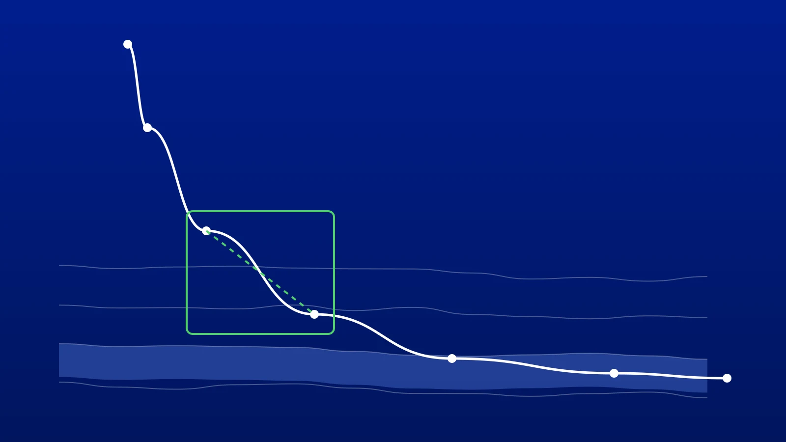
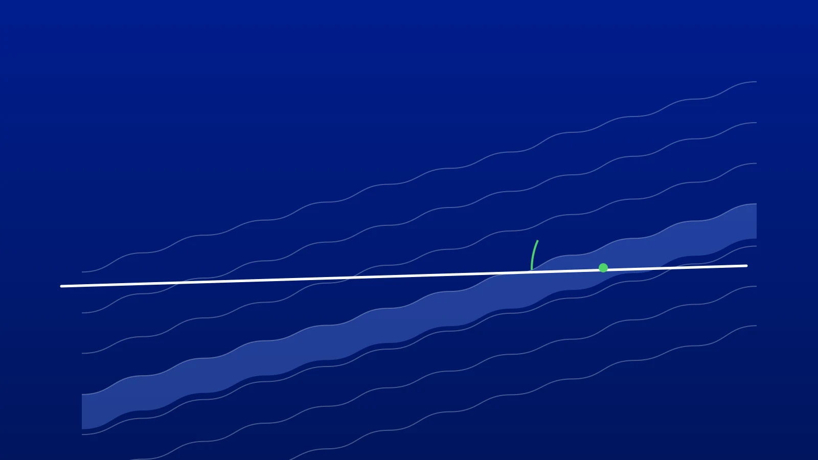
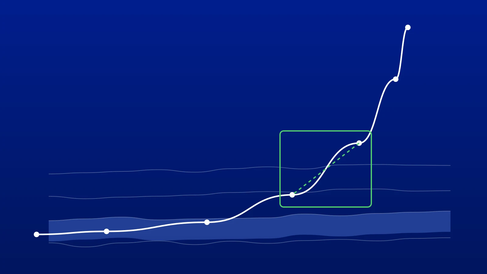
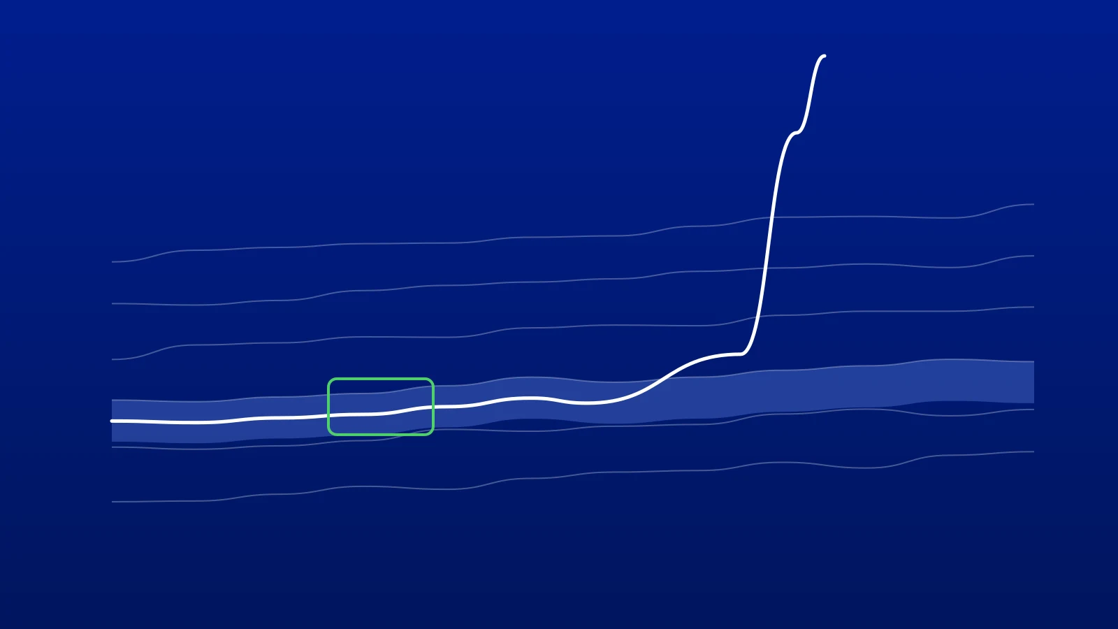
A horizontal well drilling along a layer reads the same few metres of rock again and again. When it moves up or down through the stratigraphy, the gamma changes, and the pattern it draws matches part of the type well's log.
Work along the lateral in intervals, each short enough that the layers can be treated as having one dip inside it. For each interval:
- Take the lateral's gamma and its true vertical depth (TVD) from the surveys.
- Shift the interval vertically until its gamma lines up with the type well's gamma. The size of that shift says how much deeper or shallower the layers sit here than at the type well.
- Check that the match makes sense with its neighbours. A shift that changes steadily is dip. A sudden jump is a fault, a thickness change or a poor match.
The result is the lateral's position in type-well terms, its true vertical thickness (TVT), from which the target's top and base apply directly. Our guide to checking the stratigraphic position of a horizontal well works through the arithmetic with an example.
How to Tell a Good Match From a Bad One
A match is only as good as the evidence for it. Ask:
- Does it explain the shape, not just the level? Two intervals can have the same average gamma at very different positions. A good match lines up the peaks, troughs and gradients, not just the values.
- Is the direction right? When the well crosses a layer, the gamma pattern looks the same whether the well is climbing or dropping through it. Use the inclination and the expected dip to decide. With flat layers, an inclination above 90° means the well is climbing through the section.
- Is it consistent with the neighbours? Dip rarely changes by several degrees between two short intervals without a reason. If yours does, look again before you call it.
- Does a second log agree? Resistivity or density, where available, often settles a match that gamma alone cannot.
Five Mistakes That Put Wells Out of Zone
- Keeping a type well that no longer fits. If the lateral keeps finding the target thinner than the type well says, the type well is wrong for this part of the field. Rescale it or switch to a better offset.
- Forcing a match in flat gamma. Inside a uniform interval, many positions fit equally well. Mark it as low confidence and carry the last good dip forward instead.
- Calling every jump a fault. A sudden shift can also be a thickness change or a mistake in the previous interval. Look for support before adding a fault.
- Forgetting the tool offset. A constant gamma difference shifts every match by the same amount, and every position with it.
- Not keeping versions. Correlations change as the well is drilled. Save a version whenever you add a fault or change a pick, with a note on why, so the team can explain later how the well was steered.
How GeoMaster Does It
In GeoMaster®, registered in the United Kingdom (UK00004424070), type well correlation is the GeoMatch workflow. You pick the type well and the lateral, and GeoMaster matches the lateral's gamma ray to the type well interval by interval, with layer lines you can move, faults where you need them, and the dip and TVT calculated from the surveys. Tick the target top on the type well and it becomes the Sweet Spot every position is measured against.
GeoEngine, the AI assistant in each project, can score every interval of your GeoMatch against the type well, so you see which parts of the correlation hold up and which deserve a second look. When you add a fault or change a thickness, it offers to save a version. The scores are a second opinion, not a verdict: the correlation stays yours.
You can try it on your own well on the free plan, with one project of your own. Start free, or request a 14-day Pro trial; we approve requests within 1 working day.
Frequently asked questions

Written by the GeoMaster team at Greenstone Energy Ltd
Geosteerers and drilling engineers building geosteering software in the browser. Meet the founders →
Work With Us
Run your next well in GeoMaster. Start on the free plan, or request a 14-day Pro trial: we approve requests within 1 working day and you won't need a card.